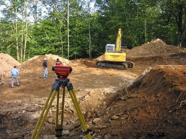
In the construction industry, the methodology of geodetic survey of the area is widely used. Such events allow obtaining information about the properties of the soil, the characteristics of the relief, hydrological conditions and other parameters. The collection of such information is required to prepare a project for the construction of a building or engineering communications device in the study area.
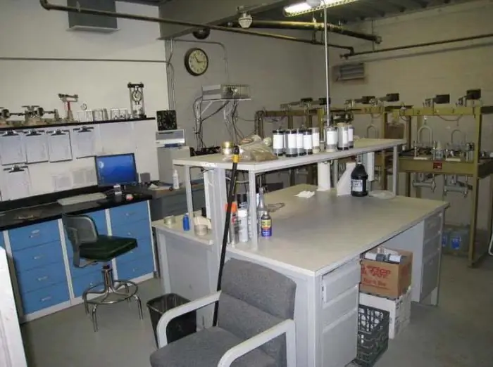
The very process of studying the terrain at the main stage is carried out in the field. In other words, directly on the future construction site. In turn, office work on the processing of the obtained data is carried out in the laboratory through experimental analysis. As a result, specialists present a full report on the results of the study in the form of text and graphic documents.
General information about office processing
After conducting geodetic, engineering or cartographic studies of the area, the data obtained are transferred to a special department for information processing. Depending on the direction of the study, further processing can be carried out in order to study rock samples of the rock massif, the level of groundwater occurrence, or to form a visual picture of the structural device.relief.
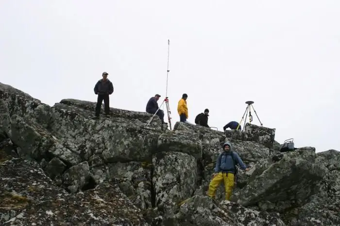
In other words, field and office work can be represented as a sequence of stages in the study of the characteristics of the territory where construction activities are planned. If, during field surveys, specialists collect source material at the target site, then further processing acts as a procedure for their analysis. At the same time, cameral operations can use not only data from field work. Often, the results of geological surveys, mineralogical and geochemical collection and geochronological primary survey are used.
Source materials for office processing
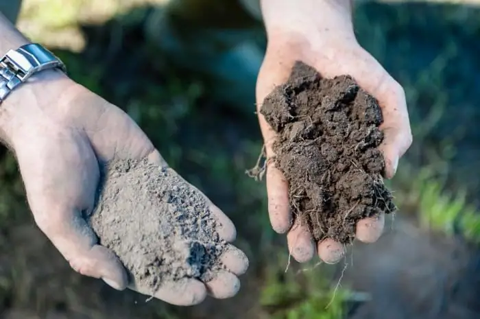
After field work, a package of documentation is formed with the information necessary for the project. Information may contain characteristics of rocks, soil cover, composition of groundwater, parameters of individual objects in the study area, photographic materials, relief profiles, etc.
In addition, office work provides the opportunity to study minerals. This is a special area of research, in which the task is not to collect information for construction needs, but to monitor the area for the presence of certain rocks. In this case, it is not their composition that is important, but the probability of the presence of minerals of a particular group. Material ready for processing can be presented in the form of graphs with soil sections, maps, territory models, text descriptions, etc.
Toolkit of a desk specialistprocessing
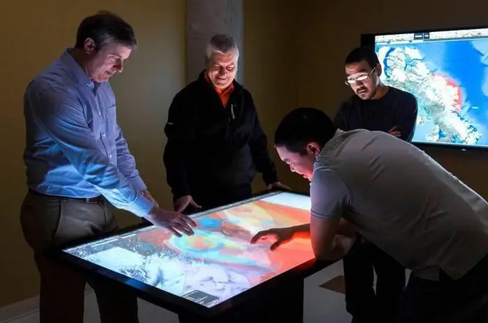
Modern approaches to geodetic study rarely do without computer simulation. The use of computer technology, in particular, makes it possible to effectively perform mathematical calculations with the generalization of data obtained on the compositions of the same rocks.
Also common are the problems of detecting discrepancies in leveling and theodolite characteristics. In this part of the study, a structural image of the soil is formed in a particular area of the terrain. It can be used to compile a general model of the soil cover with its layers and possible foreign inclusions.
Professional office work in research and without systems that allow compiling geographic information models, thanks to which the computer-aided design procedure is carried out in the future, is not complete. Such operations are performed on special software. For example, you can highlight the MapInfo Professional, Topocad and GeoniCS platforms.
Preparation for work
Before the start of processing operations, the source materials must be formed in a form convenient for presentation. This is especially true of information that is planned to be used in the software. Equipment for testing and experimental analysis is also being prepared.
The point is that office work in some areas involves the creation of conditions close to operational ones regarding the future project object. Thus, a preliminary comparison of the characteristics of the terrain is made from the pointin terms of suitability for the construction of buildings or the laying of communications. Prepared and special instruments for measurement. They are calibrated and adjusted to specific material groups.
Main stages of work
First of all, the processing of the data recorded in the tachometer survey logs is performed. At this stage, a model is formed with the territory, objects located on it, possible communications and hydrological resources. At the next stage, a survey justification scheme is drawn up.
For the correctness of the data, specialists perform an accurate calculation with an increment of coordinates, and also indicate the location of the equipment. The subsequent stages of cameral work include the preparation of a topographic plan of the area. Here, a reconciliation of the compiled scheme with the primary data is carried out. Again, depending on the nature of the study and the objectives, a separate analysis of minerals, soil layers, water resources and buildings located in the target area can be performed.
Final processing step
After completing the basic procedures, a package of documents containing the results of the analysis is compiled. In particular, it can be a technical report with explanations, topographic maps and digital terrain models attached. A geodetic survey also requires the compilation of information about the land management potential of the territory and the points of the basic survey network.
Mandatory attached and data on how it was organizedthe work of the cameral department, about the methods and technical means used. Technologies, characteristics of equipment and methods of processing raw materials are described.
Fields of office processing
Mostly research activities of this kind are carried out in the preparation of construction projects and land surveying. The processing of geodetic materials allows you to systematize the characteristics that help to get an idea of the potential possibilities of building a particular object.
It is also worth noting the importance of a scheduled desk audit. Working in this format is important from the point of view of preventing accidents associated with changes in the geotechnical parameters of the soil. Studies of this kind take into account seismological data, information about the movement of groundwater, the dynamics of landscape shifts, etc.
Conclusion
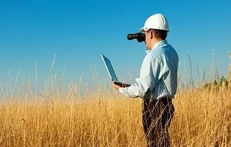
The basis for information about the area is almost always data from field work. This is the basic format for the study of the territory, without which it is impossible to generate reports for further project activities. The task of cameral work, on the one hand, is to streamline the information received, and on the other hand, to clarify it and correctly present it.
The information already obtained during this processing is sent to the design and architectural department. Next, the experts make a decision on the possibility of construction in the studied area or make adjustments to the primary technical sketch based on the availabledata.


